Helvellyn with contours and TIN
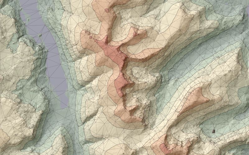
For cartographic purposes it is sometimes appropriate to emphasise elevation change using discrete colour
bands to represent ranges of values from a DEM. This can be reinforced by adding contour lines at the
height of the boundaries. The TIN was mixed with the contours by using Combine Vector Maps and
setting the vector colour of the TIN values to be semi-transparent.
Elevation data are from the 50m Panorama DEMs covering the English Lake District, Crown Copyright,
Ordnance Survey, provided by the Edina Digimap/JISC service.

