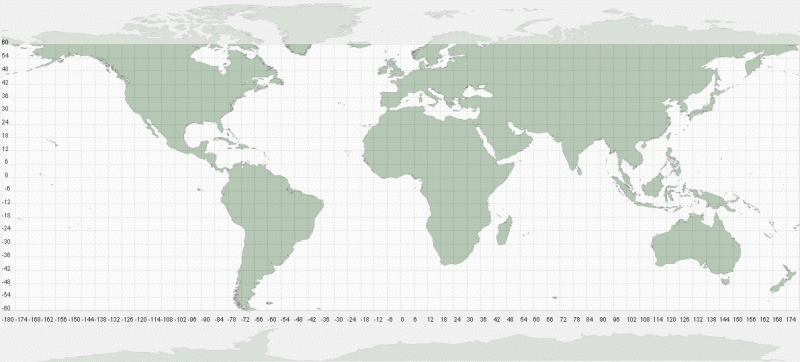
Map showing the extent of the
Shuttle Radar Topography Mission (SRTM) global DEM coverage. Each
square represents 6x6 tiles that can be downloaded and imported directly into LandSerf. The continental
outlines were produced by importing the freely available
Global Hierarchical High-resolution Shoreline
dataset. Graticule labels along the bottom and left sides were generated by adding a point vectors to the vector map
and displaying point labels.