LandSerf Programming Guide

LandSerf code

To follow this guide and program with the LandSerf classes you will need:

  1. LandSerf 2.3 installed on your computer;
  2. the Java 1.4 SE (or higher) Software Development Kit installed on your computer;
  3. access to the LandSerf API documentation

You may also find it useful to have available:

  1. An Integrated Development Environment such as Eclipse;
  2. the book Java Programming for Spatial Sciences, which covers much of the background and design behind the development of the LandSerf classes;
  3. the LandSerf discussion forum covering programming issues.

Chapter 1 - Getting Started

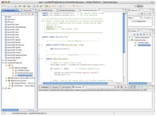
Linking your Java classes with the LandSerf libraries; compiling and running a 'Hello World' application; creating spatial object matadata from within a Java program.

Chapter 2 - Manipulating raster maps

Creating new raster maps; creating and editing raster metadata; processing raster values.

Chapter 3 - Manipulating vector maps

Handling vector metadata; how vector maps are organised; creating and processing vector maps.

Chapter 4 - Using the jwo.landserf.process classes

Storing spatial objects in a GISFrame; handling threaded processes; where input and output is stored.