Fuzzy peakedness in Glencoe, Scotland
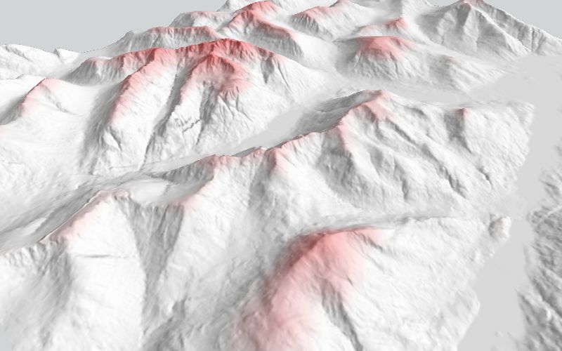
A still from an animated flythrough over the Glencoe area of western Scotland. It shows a representation of fuzzy peakedness
calculated in LandSerf and rendered using LandSerf's 3d viewer. The darker the red, the greater the degree of peakedness.
The animation, of which this forms a part, won the GISRUK 2004 Visualization Challenge.
Elevation data are assembled from 10m Profile DEMs, Crown Copyright, Ordnance Survey, provided by the Ordnance Survey
and the Edina Digimap/JISC service.

