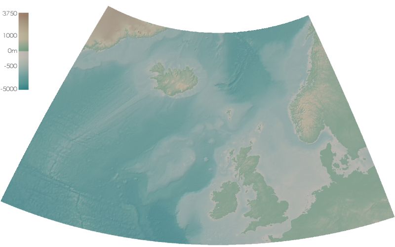
'Atlas' style representation of the NW European continent and sea floor surface. The elevation data were imported
into Landserf from the
ETOPO2 dataset
and then reprojected to use UTM coordinates. The colour scheme, created in LandSerf, was partly based on the
'Shelton atlas' design discussed by
Patterson and Kelso (2004)
in
Cartographic Perspectives.