Hawaii Contours
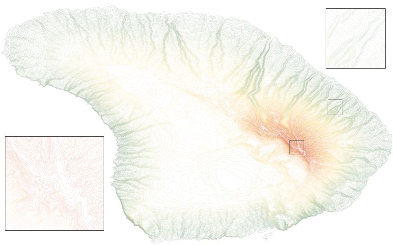
Contour lines representing Hawaii main island. Data were imported into LandSerf from shapefiles available from the
Virtual Terrain Project. Contour display can often be improved
by setting the line width to about 0.3 and the display to 'prioritise quality'.

