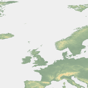
Utility to convert GTOPO30 global DEMs into LandSerf format.

The GTOPO30 dataset provides an elevation model at a 30 arc-second resolution for the entire global landmass. It was created between 1993-1996 by a team led by the US Geological Survey from a range of raster and vector data sources. The data are freely available from http://edcdaac.usgs.gov/gtopo30/gtopo30.asp. While in many cases, the more recent SRTM elevation data are of a higher quality, this dataset is particularly useful for broader-scale analysis, for polar regions and can be used for void-filling the SRTM data.
To install the GTOPO30 DEM reader, download the appropriate file below and uncompress into your LandSerf installation folder
(e.g. c:\Program Files\landserf210). This should create a sub-folder called addons with several
files including GTOPO30Reader.bat and GTOPO30Reader.sh.
To run GTOPO30Reader, open a command prompt in Windows (Start menu->Run...->cmd) or a shell/terminal
window in Linux/MacoSX. Change to the directory in which the converter is installed (e.g. cd c:"Program Files"\landserf210\addons)
and type GTOPO30Reader gtopoName.dem where gtopoName.dem is the GTOPO30 DEM file to convert.
The GTOPO30 data should be unarchived (there should be be 8 files in each archive, each with the same base name. This converter only
uses four of the files: gtopoName.dem, gtopoName.hdr, gtopoName.dmw and gtopoName.prj.
Note that the resulting rasters are large (most are 4800 rows x 6000 columns) and so require at least 256Mb of ram to process.
GTOPO30Reader c:\data\W020N90.dem (Windows)
or
./GTOPO30Reader.sh ~/data/W020N90.dem (Linux/MacOSX)
Running the converter using either of the examples above would create a new file called W020N90.srf in
the same directory as the original GTOPO30 files. After conversion, the original files can be deleted to save disk space.
Since the data are stored in global latitude/longitude coordinates, you will probably want to reproject them into a UTM coordinate system so that the (x,y) coordinates are in the same units as the elevation values. This can be done with the reproject add-on, or through LandSerf. Note that if you are converting a file that extends to +-90 degrees, a UTM projection will greatly distort the polar regions. You will probably wish to subset the resulting DEM to avoid the extreme polar latitudes. Alternatively, for Antarctica, you can download a GTOPO30 file already projected to use stereographic polar coordinates in metres.